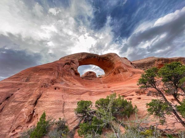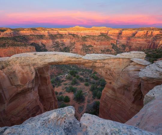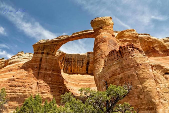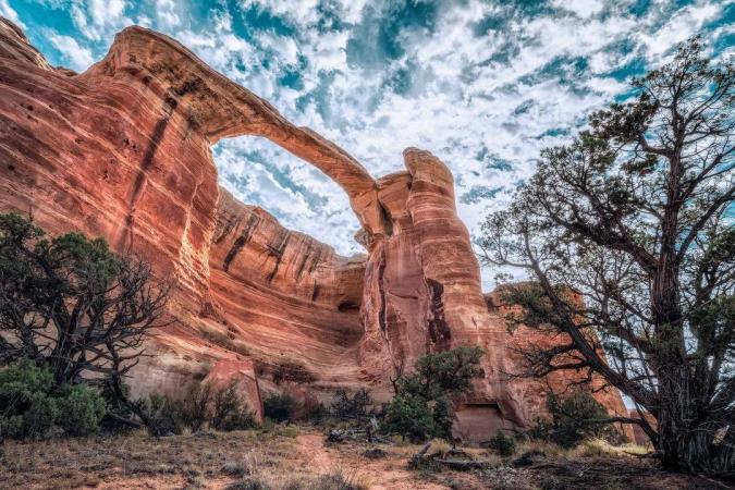
The northern end of Western Colorado’s Uncompahgre Plateau comes alive with remote canyons that slice through colorful sandstone layers to form cliffs, pinnacles, alcoves, and - most impressively - arches. In fact, you can find a collection of 35 natural arches, including eight major arches, tucked away in Rattlesnake Canyon. These soaring spans, protected in the 123,400-acre McInnis Canyons National Conservation Area, form the world’s second-largest concentration of arches outside of Utah’s Arches National Park. The Rattlesnake Canyon Arches are one of Colorado’s most spectacular wonders, but also one of its best-kept secrets. The Arches are accessible only by a rough drive on a 4x4 track or a 15-mile round-trip trek from a trailhead west of Grand Junction. The Rattlesnake Arches are off the beaten path, but those willing to make the journey will be rewarded with one of Colorado’s most remarkable landscapes. Bonus – they can be hiked without the crowds experienced in Moab, Utah; however, you need to plan.
There are two routes to consider when getting to Rattlesnake Arches:
1) Pollock Bench Trailhead via Fruita

If you’re up for the ultimate challenge, start at the Pollock Bench route. This 15.5-mile roundtrip hike is considered strenuous and requires some technical scrambling, so starting this trek in the morning and packing plenty of water is highly recommended. You shouldn’t take your dog on this route, as there is little shade and no water. Wear protective clothing, hats and sunscreen.
To get to the trailhead, drive Horsethief Canyon Road (aka Kingsview Rd.) west. At the Pollock Bench Trailhead, there is a large parking lot with vault toilets.

As you hike from the trailhead, follow the Pollock Bench trail which is designated by a P1 marker. You will come to forks on the trail at 1.6 miles, 1.8 miles and 2 miles (from the trailhead) – take a right each time. From here to the arches, you will arrive at sections that require minor scrambling, sliding down on your bum, technical hiking skills and some 4 - 5-foot cliff sections that need to be scaled. At 3 miles, you will see a fork where Rattlesnake Arches trail meets the Pollock Canyon trail – veer right (west) again. After carefully maneuvering your way through, you will be rewarded with the sight of a unique rock formation, called Window Rock Tower. At 6 miles, the upper trailhead meets the lower trailhead route, stay right. At 6.7 miles, you will see the Hole in the Bridge arch sitting between two other arches. At about 7 miles, you will see the famous Rattlesnake Arch which spans 120 feet high and 40 feet wide. Hike another .75 miles to arrive at Cedar Tree Arch, the final arch from this route. At this point, retrace your steps back to the trailhead.
2) Upper Trailhead via Glade Park

There are two access roads to get to the Upper Trailhead depending on the time of the year you plan to visit. For either Access Road, enter the east entrance to Colorado National Monument. Take Rimrock Drive to 16 ½ Road. About 1,000 feet after turning left onto 16 ½ Road, turn right on Black Ridge Road. Follow Black Ridge Road until you come to a fork in the road.
The route on the right is the Lower Access Road and is open from August 15 to February 15. The Upper Access Road is on the left and is open from April 15 to August 15. After the two routes converge, the last two miles to the trailhead is considered the roughest section of the drive, so many people hike or bike the remaining distance. From Rimrock Drive to Rattlesnake Arches trailhead, it takes about 75 minutes regardless of which Access Road you are on.

After reaching the trailhead, begin hiking and you will come to a fork marked by a signpost with the words "Upper Trail", "Lower Trail", and "Trailhead". At this point, follow the Upper Trail for 1/2 mile to view an overlook of Cedar Tree Arch as well as some of the other arches. To descend into Rattlesnake Canyon, backtrack to the previously mentioned signpost and follow the trail that is marked as "Lower Trail". After turning left onto Rattlesnake Arches Lower Trail, continue until you reach another fork. At this point, stay left. Follow this trail for about 2 miles to see the arches from the bottom. The trail ends at the bottom of Cedar Tree Arch. Retrace your steps back to return to the previous fork.
For more information on public land in the Grand Junction area, check out the Grand Junction Adventure Guide !